DRONE SOLUTIONS
Remotely Piloted Aircraft Systems (RPAS) or most commonly known as drones are the best tool to capture data for our clients. We use the latest RPAS drone technology to get our clients their data. We can help you access all of those hard to reach locations that would otherwise take far more time and money to see using conventional methods.
BENEFITS
- Fast Deployment
- Time Efficent
- Cost Savings
- Risk Management
SAFETY ABOVE ALL
CAM North is fully insured ($2 million liability) with pilots trained and certified under the full compliance of Transport Canada rules and regulations. All flights are logged and documented, making sure that they are done safely and legally. We take the necessary steps to ensure that safety is top priority on each project.
Drone Services
Photogrammetry
Creating large, google style map-quality images with high detail and resolution made by combining many smaller images called orthophotos.
Site Progression
From start to finish, we can capture images and videos of in-progress sites to show our clients and their clients.
Asset Inspection
Drones help deliver a cost-effective and safer inspection process that can help mitigate risk, while you keep operations running as usual.
Photography & Video
Capture your project from a different perspective. Our aerial photography ensures a unique result which you may have previously thought impossible.
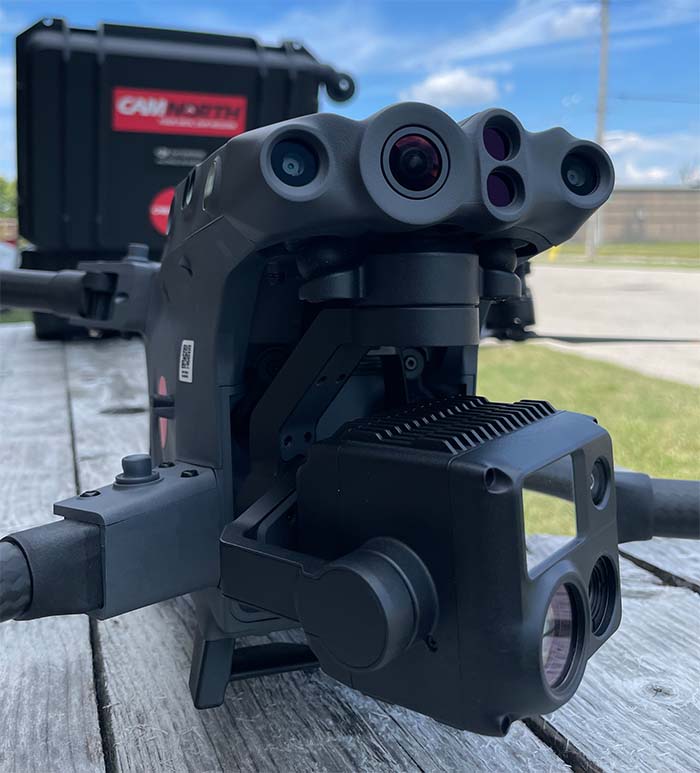
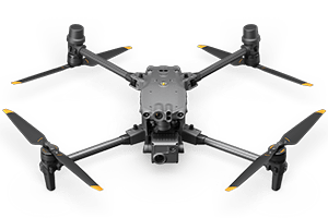
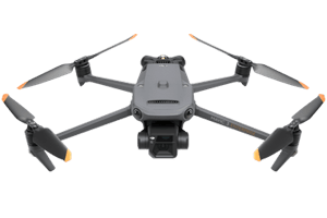
Our Primary Fleet
From high zoom lenses, to thermal cameras, our various drones are ready for any environment.
Fleets are available for rental. Contact us for more information.
DISCLAIMER
CAM North Corporation does not employ surveyors, nor provide “Survey-Grade” data. Our clients utilize our non-survey grade data for logistics, verification of worked performed, general quality control, project history, dispute resolution, and many other useful applications.